
Mapy a sprievodcovia
 East Anglia in Photographs
A stunning collection of images showcasing East Anglia in all its glory, which capture the essence of the region.
 Southern Peloponnese: 5 car tours, 50 long and short walks
 A Dales High Way
A Route Guide to a popular 90-mile long distance walk across the Yorkshire Dales from Saltaire to Appleby-in-Westmorland.
 Isle of Anglesey Coast Path Map
Enhanced, large scale (1: 25,000) Ordnance Survey mapping in a handy atlas format with all the mapping you need to walk a complete circuit of the Anglesey section of the Wales...
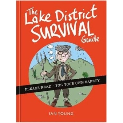 The Lake District Survival Guide
 Amharic-English/ English-Amharic Dictionary & Phrasebook
 London
London celebrates the British capital, from its famous landmarks to atmospheric alleyways, from the top of the Shard to London Underground's lost ghost stations, from the parks...
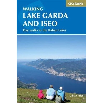 Walking Lake Garda and Iseo
Pěší průvodce obsahující 50 jednodenních procházek kolem italských jezer Maggiore, Como, Iseo a Garda. Průvodce obsahuje podrobné popisy a mapy procházek od snadných,...
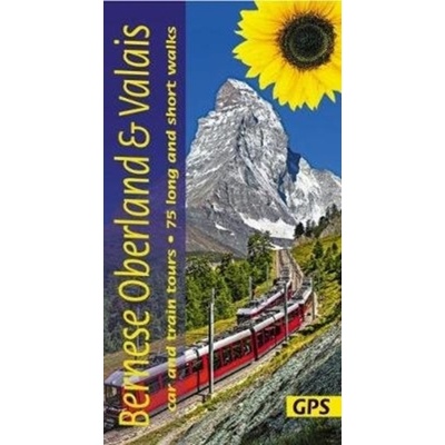 Bernese Oberland and Valais
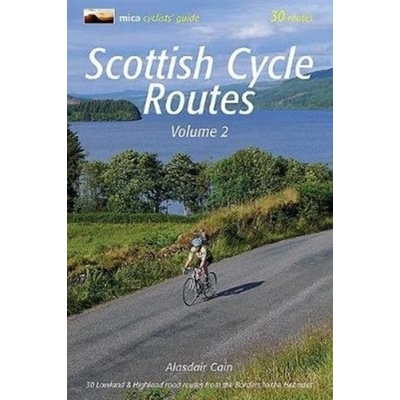 Scottish Cycle Routes Volume 2
This is the second volume of Scottish Cycle Routes which adds another 30 circular road cycle routes of 28 miles to 115 miles, exploring the best of Scotland's panoramic back...
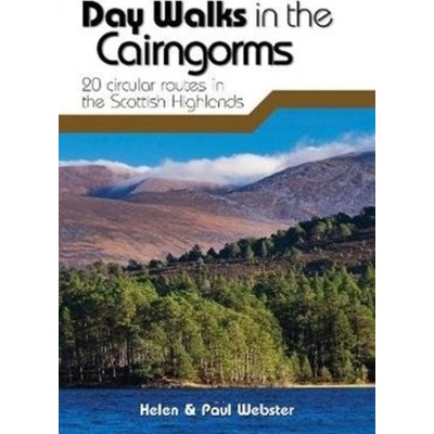 Day Walks in the Cairngorms
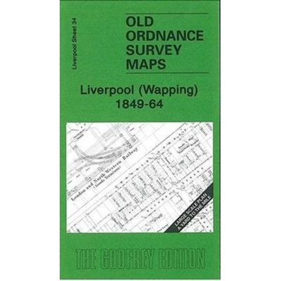 Liverpool Wapping 1849-64
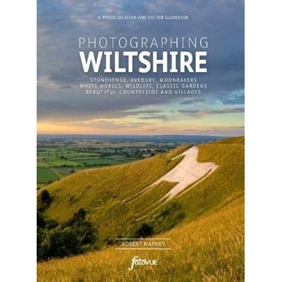 Photographing Wiltshire
With over 500 colour photographs, Photographing Wiltshire is the definitive visitor and photo-location guidebook to photographing this fascinating county.
 London Murders
 Concrete Tokyo Map
"Edited by Naomi Pollock, with photography by Jimmy Cohrssen, the bilingual (Japanese and English) map serves as an expertly curated guide to Tokyo's unique concrete...
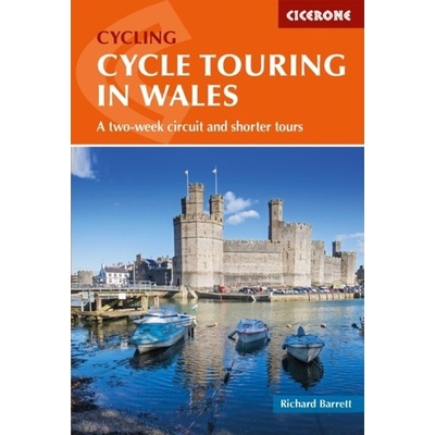 Cycle Touring in Wales
Guidebook to cycle touring in Wales. This packed guide describes a circuit of Wales - perfect for a 2-week trip - plus 6 cross routes, which range from 45 to 73 miles and can be...
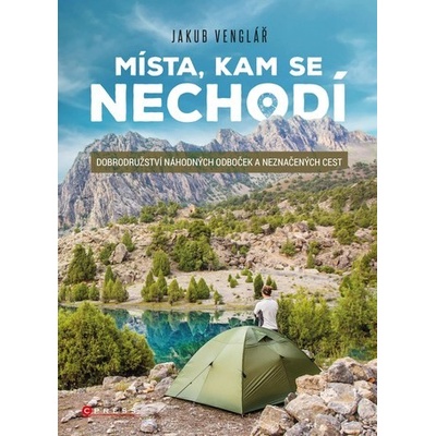 Místa, kam se nechodí
Kam až člověka může dovést touha bloudit a objevovat? Jak se nenechat zaskočit průšvihy a vypořádat se s kulturním šokem? Jaké to je doopravdy cestovat sám? Takové myšlenky mi...
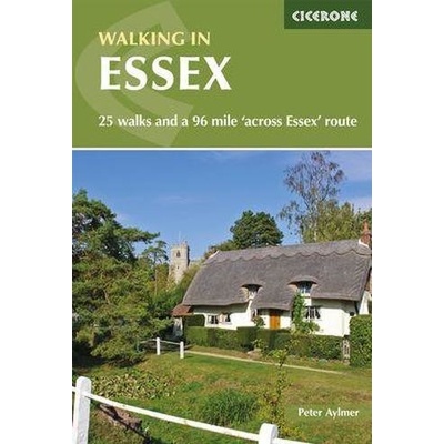 Walking in Essex
Guidebook to 25 day walks in the county of Essex. Ranging from 4 to 17 miles, the walks showcase the county's delightfully varied landscape. Also includes a full description of...
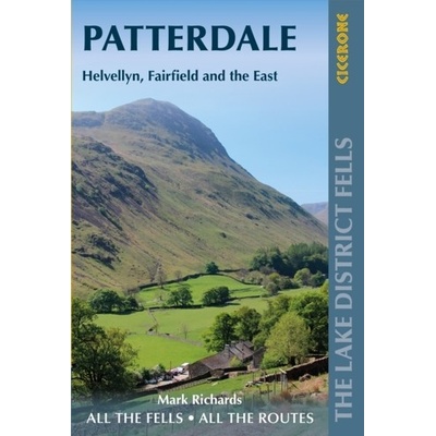 Walking the Lake District Fells - Patterdale
Part of the Walking the Lake District Fells series, this guidebook covers a wide range of routes to 35 Lakeland summits that can be climbed from Ambleside, Grasmere and...
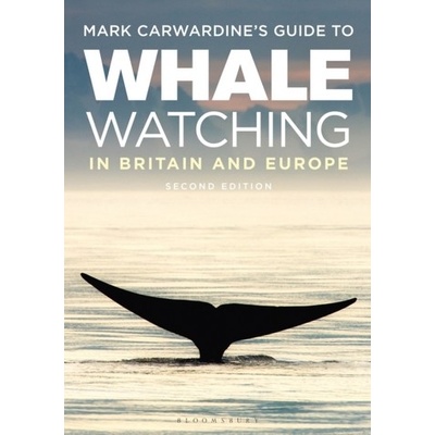 Mark Carwardine's Guide To Whale Watching In Britain And Europe
This new edition of Mark Carwardine\'s Guide to Whale-watching in Britain and Europe is the definitive resource for all who love our marine mammals.
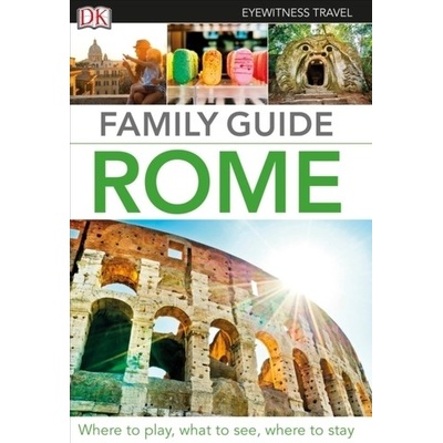 Family Guide Rome
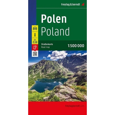 Polen, Straßenkarte 1:500.000, freytag & berndt
The road map of Poland 1:500,000 contains a lot of information that is useful and helpful for a trip to the Central European country. The road and rail network is shown and...
 RWANDA - BURUNDI
Oboustranná mapa Rwandy a Burundi, silniční síť s kilometráží. Značené národní parky, turistické zajímavosti, hotely, nemocnice, čerpací stanice, letiště a mnoho dalšího....
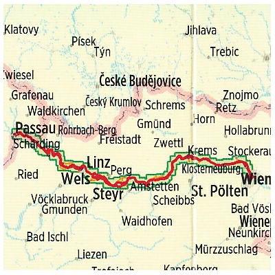 Donauradweg / Donau-Radweg 2
Cykloprůvodce vydavatelství Esterbauer. Obsahuje popis etapy po Dunajské cyklostezce, z Pasova (Passau) do Vídně (Wien) o celkové délce 330 km. Trasa je rozdělena do několika...